Diagram
See how the line rides
Trajectories from any takeoff, with a live landing check. Speed window per jump: scrub, neutral and pop.
For trail and bike-park builders
Trails, berms, jumps and drainage on real LiDAR terrain. Check how it rides, what it takes in dirt and where the water goes, then take the plan to the hill.
14 days free · no card requiredIn your browser · No install
01The app
Draw the line on terrain the app already has, or on your own scan, right in the browser.
02How it works
01
Draw the line on terrain the app already has, or on your own scan, right in the browser.
02
See the speed along the line, and how a berm or a jump will ride.
03
Warnings advise and never block. They flag a case, an overshoot, fast water or a steep side slope.
04
Dirt volume, trees from the scan, and files for the hill: GPX, KML and GNSS setting-out. PDF or print sheets and DXF for pumptrack lines, for now.
05
Show the finished line in 3D, then take the plan to the hill.
Open the demo project03Features
Shapes, dirt, wooden kicker frames, base heights and riding physics, the way builders actually build them.
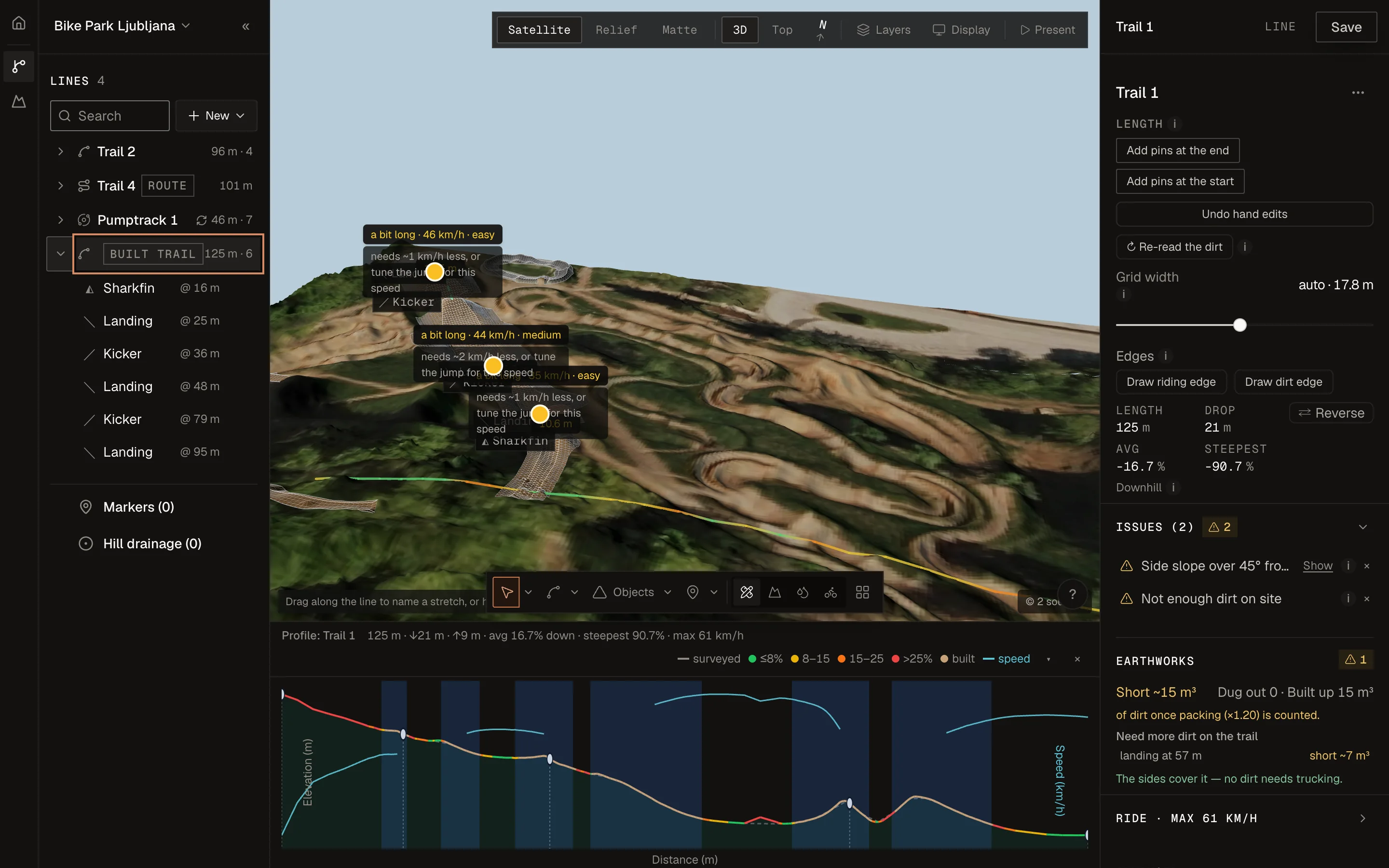
Trajectories from any takeoff, with a live landing check. Speed window per jump: scrub, neutral and pop.
Gap and rollable jumps, shark fins and wall rides too.
 Real app capture
Builder's-choice kicker shape, with a warning when the numbers don't fit the speed.
Cut and fill per object, per line and per project, so you move dirt once.
 Real app capture
Trace where water hits and leaves the line. Channel and Drain tools place waterways and drains.
 Real app capture
Trees mapped from the point cloud, so you see what needs cutting and where roots get close.
Steep angles and material shortage. Warnings advise and never block.
 Real app capture
Hand over a GPX, KML or GNSS setting-out file. Pumptrack lines also get a PDF or print sheet and a DXF.
04Terrain
Built-in LiDAR terrain, or upload your own GeoTIFF (DEM) or LAS/LAZ.
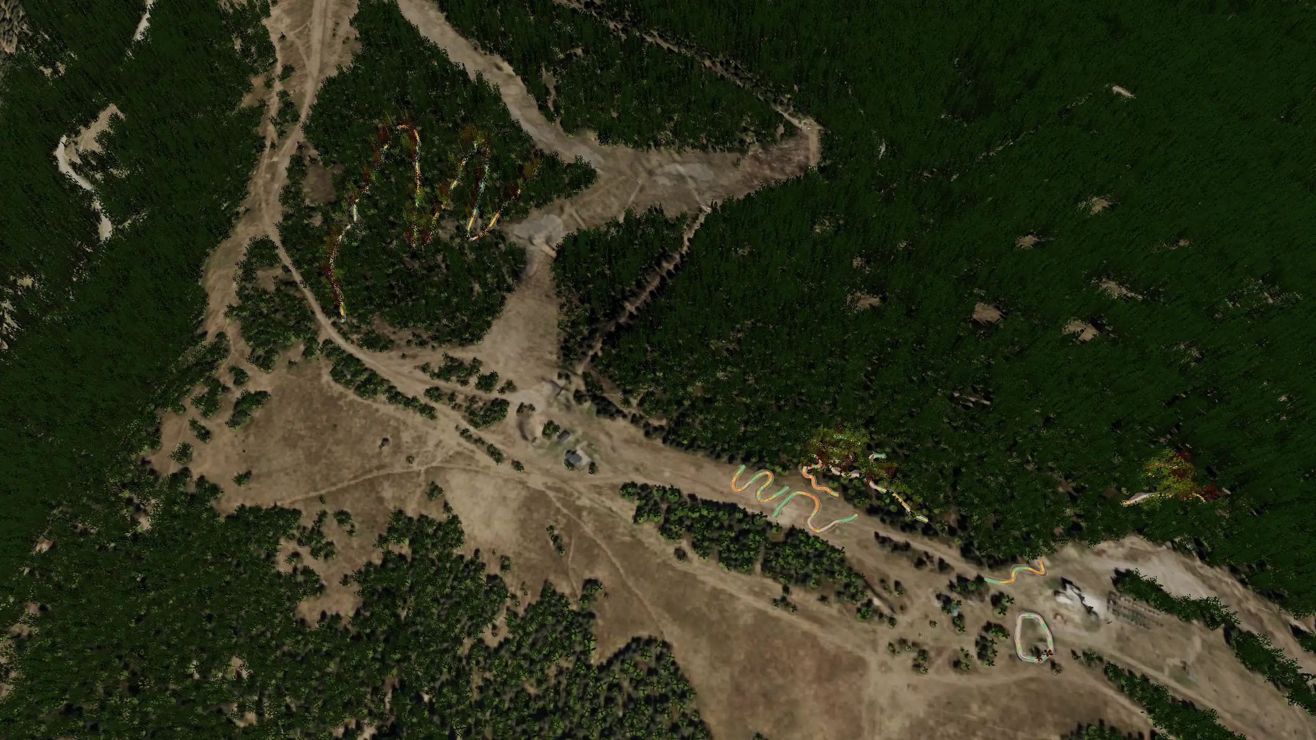
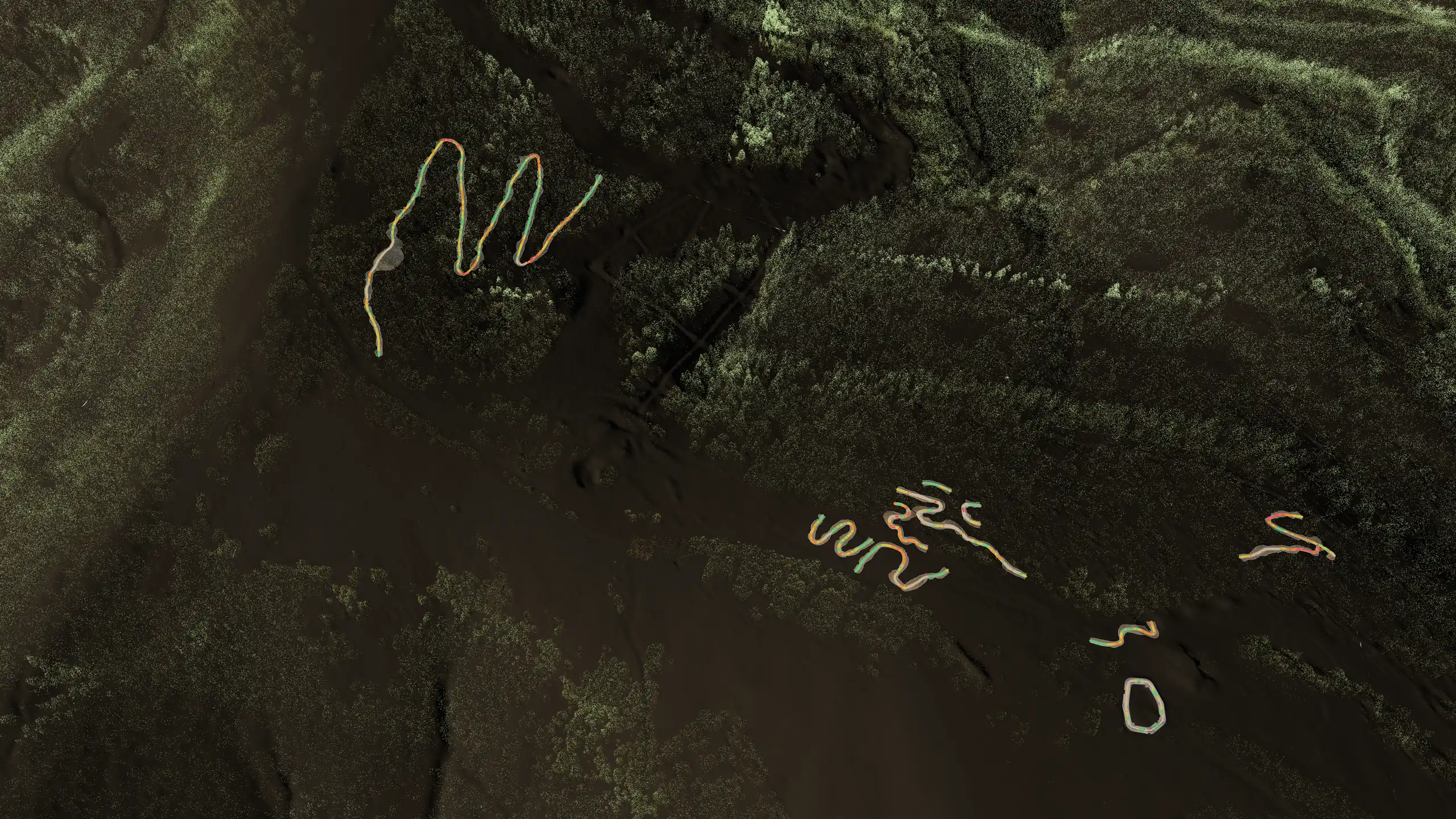
 Real app capture
A coarse model is enough to plan a line, and not for dirt volumes.
Uploading your own GeoTIFF or LAS/LAZ is in the paid plan, not the trial.
Rider view
Real app capture · Rider view · Trail 1, Kope
05Ride this line
06Clients
Show them the line in 3D before you dig.
Clients approve what they can actually see.
Free client view links · coming soon07Tuned on real lines
Built and ridden by Batt Crew. Modelled in Park Designer to tune the physics.
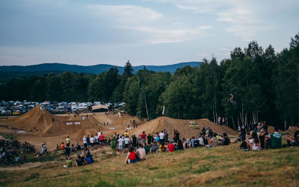
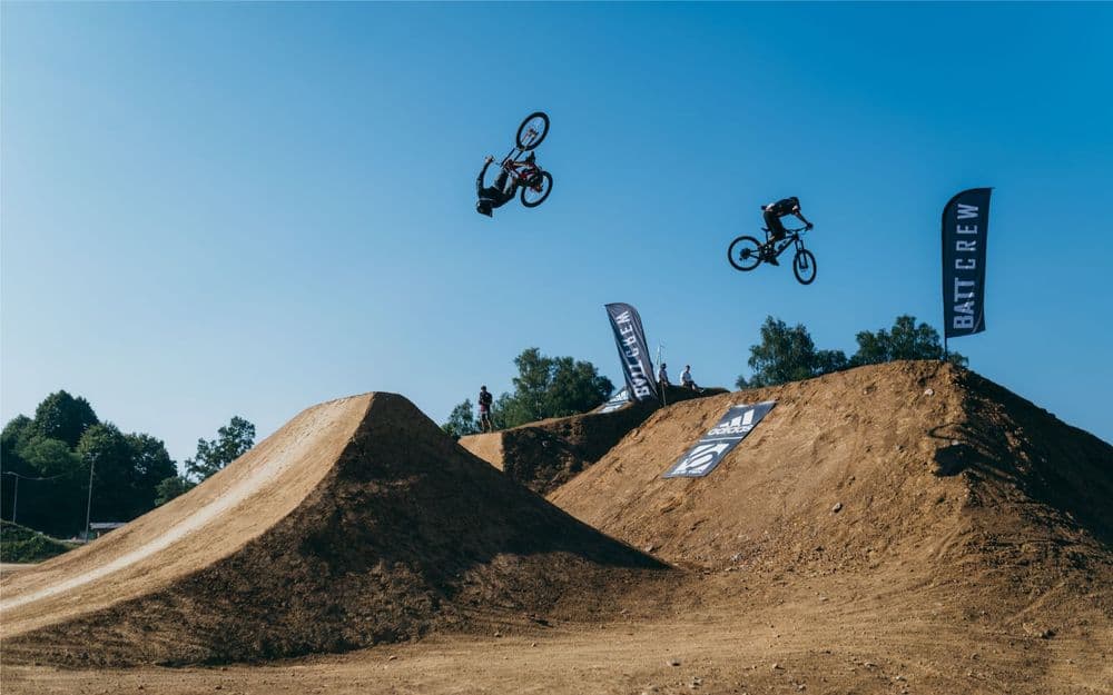
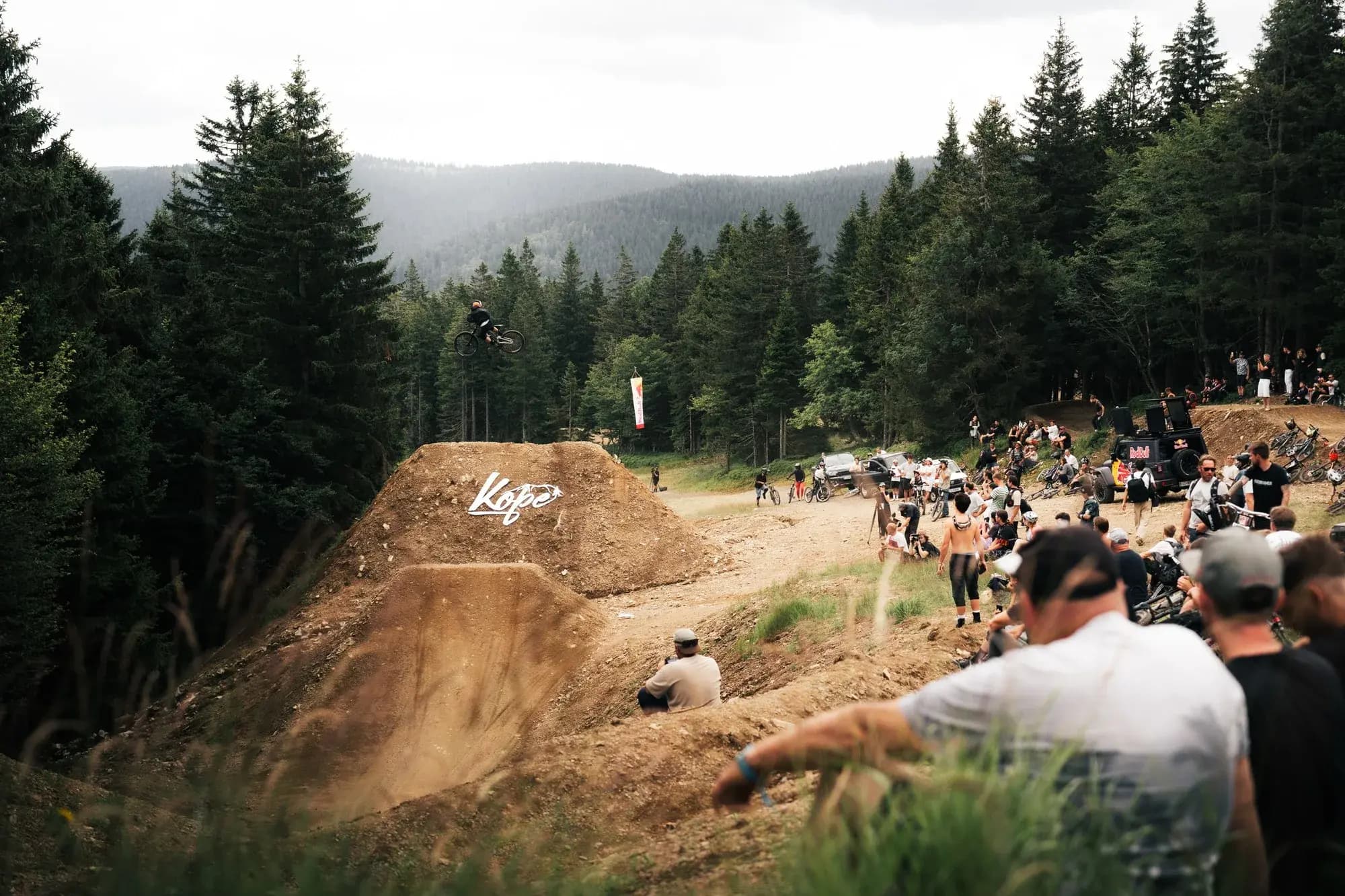
We developed Park Designer to make building lines easier. We always worked by feel, and sometimes we weren't sure it would really work — especially on the big jumps for Flat Out Days. Now the app makes it much easier to trust that feel.
08Audiences
Design trails, berms, jumps and drainage for your clients, and change the plan yourself.
Plan the park before you spend on it. One line, one phase, or the full park.
Draw a pumptrack line, check how it rides, and hand over a PDF or print sheet and a DXF.
Have Batt Crew design the trails.
Contact Batt Crew09Pricing
Start with 14 days free. Plan before next build.
€0
Free forever.
14 days free · no card required
€497/ year€997
The first 50 early-bird seats, then €997 / year.
14 days free · no card required
Full physics and basic volumes open. Water flow and trees can be tried on 1 project. Unlimited use and full exports on paid plans. Designs stay viewable after trial.
10FAQ
Questions? jan@battcrew.com
Park Designer is built to work as close to real building as possible: shapes, dirt, wooden kicker frames, base heights and riding physics, modelled the way builders actually build them. We tuned the physics on real lines we built and ride (Hammer Line at Kope, and the Whip-Off and Flat Out Days lines in Kočevje), shown above. You see trajectories at different speeds and a warning whenever the numbers don't fit. It is a planning tool, not an engineering certification. Your judgement on site still makes the call.
You can't show the plan in your head to a client, and you can't check it before you dig. Park Designer puts it in 3D, so you can check how the line rides and show your client the line.
Yes. The app has terrain for Slovenia, Switzerland, Austria, Germany, France, Belgium, Italy, the United Kingdom, Ukraine and Slovakia. Slovenia, Switzerland, Austria and France open on a national elevation model. Germany, Belgium, Italy and the United Kingdom open on a coarse global model, with a finer survey in part of the country. Ukraine and Slovakia open on the coarse global model. A coarse model is enough to plan a line, and not for dirt volumes. You can also upload your own GeoTIFF (DEM) or LAS/LAZ.
Free client viewing links. You can already draw a pumptrack line, and hand over a GPX, KML or GNSS setting-out file. Pumptrack lines also get a PDF or print sheet and a DXF.
No. Free client viewing links are coming soon: your client will open a link and see the design in 3D. Until then, show them the 3D view yourself.
Free: €0. Pro: €99 / month, or Early bird €497 / year for the first 50 early-bird seats, then €997 / year.
Full physics and basic volumes. Water flow and trees can be tried on 1 project. Unlimited use and full exports are on paid plans. Designs stay viewable after the trial ends.
Your designs live in your Park Designer account, and you can download any design as a file. That file opens only in Park Designer. Cancel any time. You keep access until the end of the period you've paid for.
Batt Crew, a Slovenian crew that designs and builds pumptracks, bike parks and jump lines. We built the tool we needed on our own jobs.
14 days free · no card required
Questions? jan@battcrew.com